Shows / Satellite image deep learning
Satellite image deep learning
Dive into the world of deep learning for satellite images with your host, Robin Cole. Robin meets with experts in the field to discuss their research, products, and careers in the space of satellite image deep learning. Stay up to date on the latest trends and advancements in the industry - whether you’re an expert in the field or just starting to learn about satellite image deep learning, this a podcast for you. Head to https://www.satellite-image-deep-learning.com/ to learn more about this…
Episodes
 Satellite image deep learning
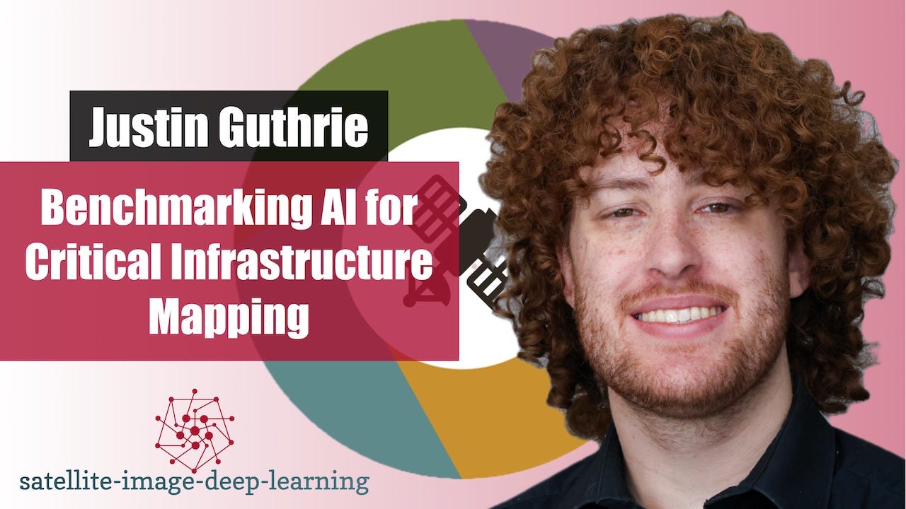
Benchmarking AI for Critical Infrastructure Mapping
In this episode I caught up with Justin Guthrie to discuss Infra-Bench CLS, a global benchmark testing seven foundation model backbones on critical…
 Satellite image deep learning
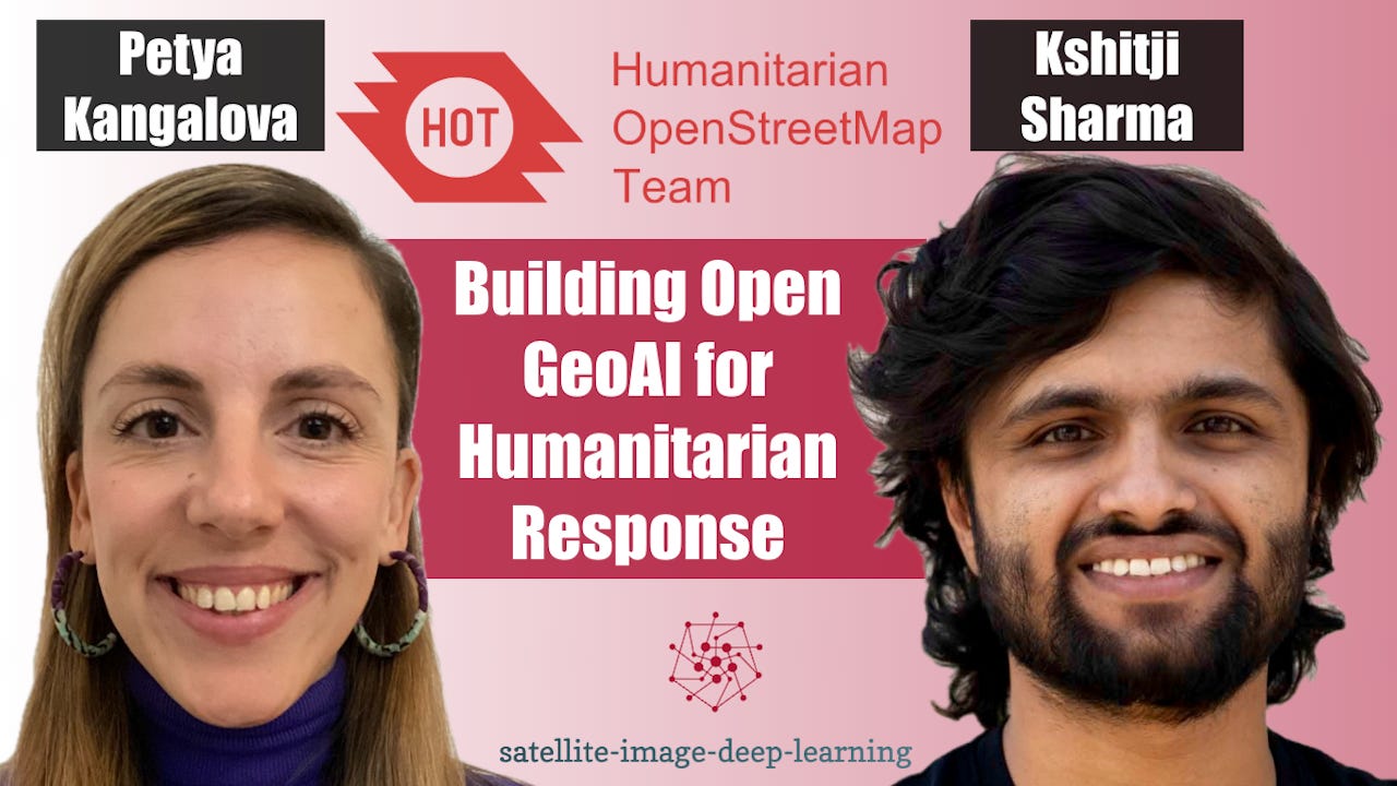
Building Open GeoAI for Humanitarian Response
In this episode I sat down with Petya Kangalova and Kshitij Sharma from the Humanitarian OpenStreetMap Team (HOT) to discuss how GeoAI and community-driven…
 Satellite image deep learning
Ai Agents with Hyades & BlazerOps
In this episode I caught up with Ash Alex and Jimin Seo, co-founders of Hyades, to discuss BlazerOps, an agentic platform for building machine-learning models…
 Satellite image deep learning
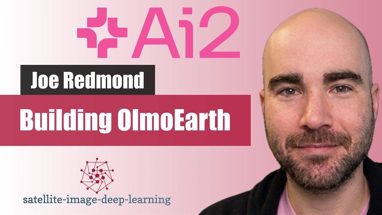
Building OlmoEarth: AI2’s Open Foundation Model for Satellite Imagery
In this episode I sat down with Joe Redmond from the Allen Institute for AI (AI2) to discuss OlmoEarth, AI2's open geospatial foundation model for Earth…
 Satellite image deep learning
A Single GPU Is All You Need for Self-Supervised Pretraining
In this episode I sat down with Lakshay Sharma, a machine learning scientist at Instacart and former member of Microsoft’s geospatial AI team, to discuss…
 Satellite image deep learning
Mapping The World at Taylor Geospatial
In this episode I sat down with Jennifer Marcus and Isaac Corley from Taylor Geospatial to explore Fields of the World - an open initiative to create globally…
 Satellite image deep learning
BetaEarth: Open Embeddings of Sentinel-2 and Sentinel-1 with a Little Help of AlphaEarth
In this episode I sat down with Mikolaj (Miko) Czerkawski from Asterisk Labs to explore BetaEarth, an experimental open-source emulator trained on AlphaEarth…
 Satellite image deep learning
Geospatial Annotation with LabelMe and Segment Anything
In this episode I sat down with Kentaro Wada, a computer vision engineer at Mujin and creator of LabelMe, to explore the evolution of image annotation…
 Satellite image deep learning
Mapping South America and Beyond with Fields of The World V2
In this episode I sat down with Hannah Kerner and Tristan Grupp to discuss Fields of The World (FTW), an open-source benchmark and ecosystem for global field…
 Satellite image deep learning
State Of The Art Object Detection
In this episode I sat down with Isaac to discuss RF-DETR, a new state-of-the-art family of real-time object detection and segmentation models from Roboflow. We…
 Satellite image deep learning
Tessera: A Temporal Foundation Model for Earth Observation
In this episode I caught up with Sadiq Jaffer and Frank Feng to discuss Tessera, a large-scale foundation model for Earth observation that produces annual…
 Satellite image deep learning
AutoML for Spaceborne AI
In this episode I caught up with Roberto del Prete to learn about his work on AutoML for in-orbit model deployment, and how it enables satellites to run highly…
 Satellite image deep learning
Methane Plume Detection with AutoML
In this episode I caught up with Julia Wąsala to learn about methane plume detection using AutoML, and how her research bridges atmospheric science and machine…
 Satellite image deep learning
Democratising access to GeoAI with InstaGeo
In this episode, I caught up with Ibrahim Salihu Yusuf from InstaDeep’s AI for Social Good team to hear the story behind InstaGeo, an open-source geospatial…
 Satellite image deep learning
PhiDown: Fast, Simple Access to Copernicus Data
In this episode, Roberto from ESA’s Φ-lab in Frascati introduces PhiDown, a community-driven open-source tool designed to simplify data access from the…
 Satellite image deep learning
Chained Models for High-Res Aerial Solar Fault Detection
In this episode, I caught up with Jonathan Lwowski, Connor Wallace, and Isaac Corley to explore how Zeitview built an AI-powered system to monitor solar farms…
 Satellite image deep learning
TorchGeo 1.0 with Adam Stewart
In this episode I caught up with Adam Stewart, creator of TorchGeo, to hear all the latest updates related to this pivotal piece of geospatial AI software. We…
 Satellite image deep learning
Challenges and opportunities for Ai mapping
In this episode I caught up with Tobias Augspurger to explore the Map Your Grid initiative at Open Energy Transition, an ambitious project funded by…
 Satellite image deep learning
Solar Panel Detection with Satellite Imagery
In this episode, I catch up with Federico Bessi to dive into a fascinating end-to-end project on the automatic detection of photovoltaic (PV) solar plants…
 Satellite image deep learning
Chat2Geo and the Power of LLMs
In this conversation, I caught up with Shahab Jozdani to learn about Chat2Geo, a web-based application designed to simplify remote-sensing-based geospatial…
 Satellite image deep learning
OmniCloudMask
In this episode, I caught up with Nick Wright to discuss OmniCloudMask—a Python library for state-of-the-art cloud and cloud shadow masking in satellite…
 Satellite image deep learning
Planetixx competition approach
In this episode, I caught up with James Doherty and Donal Hill, co-founders of Planetixx (formerly Plastic-i), a company using satellite imagery and AI to…
 Satellite image deep learning
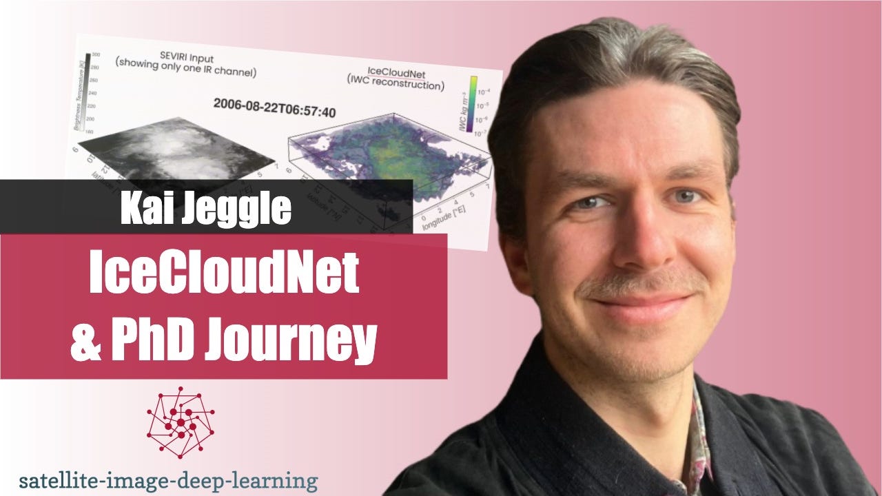
IceCloudNet and the PhD Journey
In this episode, I caught up with Kai Jeggle to discuss his experience pursuing a PhD at the intersection of machine learning and remote sensing. The…
 Satellite image deep learning
Insights from the SMAC earthquake detection challenge
In this episode, I caught up with Daniele Rege Cambrin, the organiser of the SMAC earthquake detection challenge, and Giorgio Morales, its winner. The…
 Satellite image deep learning
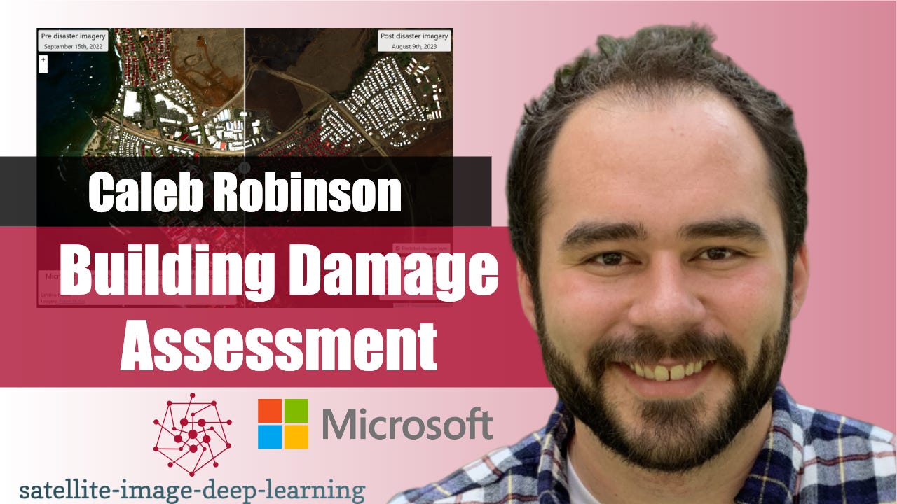
Building Damage Assessment
In this episode, I caught up with Caleb Robinson to learn about the building damage assessment toolkit from the Microsoft AI for Good lab. This toolkit enables…
 Satellite image deep learning
Deepness QGIS plugin
In this episode, I caught up with Marek Kraft to learn about the Deepness QGIS plugin. QGIS is a widely used open-source tool for working with geospatial data…
 Satellite image deep learning
The FLAIR land cover mapping challenge
In this episode, I caught up with Nicolas Gonthier to learn about the FLAIR land cover mapping challenge. In this challenge, 20cm resolution aerial imagery was…
 Satellite image deep learning
Meta-learning with Meteor
In this episode, I caught up with Marc Rußwurm to learn about Meta-learning with Meteor. Our conversation starts with a discussion about meta-learning and the…
 Satellite image deep learning
Uncertainty Quantification for Neural Networks with Pytorch Lightning UQ Box
In this episode, I caught up with Nils Lehmann to learn about Uncertainty Quantification for Neural Networks. The conversation begins with a discussion on…
 Satellite image deep learning
Field boundary detection with Segment Anything
In this episode I caught up with Samuel Bancroft to learn about segmenting field boundaries using Segment Anything, aka SAM. SAM is a foundational model for…
 Satellite image deep learning
Interpretable Deep Learning
In this episode I caught up with Yotam Azriel to learn about interpretable deep learning. Deep learning models are often criticised for being "black box" due…
 Satellite image deep learning
Earthquake detection with Sentinel-1
In this episode I caught up with Daniele Rege Cambrin, to learn about Earthquake detection with Sentinel-1 (SAR) images. Daniele has a key role in organising a…
 Satellite image deep learning
Machine learning with SAR at ASTERRA
In this episode Robin catches up with Inon Sharony to learn about the fascinating world of machine learning with SAR imagery. The unique attributes of SAR…
 Satellite image deep learning
Major TOM: Expandable EO Datasets
In this episode, Robin catches up up with Alistair Francis and Mikolaj Czerkawski to learn about Major TOM, which is a significant new public dataset of…
 Satellite image deep learning
Location Embedding with SatCLIP, with Konstantin Klemmer
In this video Robin catches up with Konstantin Klemmer to discus SatClip, which is a new global & general purpose location encoder trained on Sentinel 2…
 Satellite image deep learning
AI powered image annotation with James Gallagher
In this episode Robin catches up with James Gallagher to learn about the latest AI innovations reshaping image annotation. The conversation covered significant…
 Satellite image deep learning
Deep learning for 3D understanding of satellite images
A large fraction of acquired satellite images contain 2D projections of Earth. However, for many downstream applications, 3D understanding is beneficial or…
 Satellite image deep learning
Deep learning in Google Earth Engine with Jake Wilkins
In this episode Robin catches up with Jake Wilkins to learn about Deep learning in Google Earth Engine. Jake has been building commercial Earth Engine…
 Satellite image deep learning
PyRawS for onboard image processing with Roberto Del Prete
In this episode Robin catches up with Roberto Del Prete to learn about PyRaws. PyRaws is a powerful open source Python package that provides a comprehensive…
 Satellite image deep learning
Synthetic training data with Nathan Kundtz
In this episode Robin catches up with Nathan Kundtz to learn about the creation, and use of synthetic image data in training machine machine models. Nathan has…
 Satellite image deep learning
Orbuculum with Derek Ding
In the episode I caught up with the co-founder of the company developing Orbuculum, Derek Ding, to learn more about this innovative new platform. What makes…
 Satellite image deep learning
The machine learning workflow at Development Seed with Ryan Avery
In this episode, Robin catches up with Ryan Avery to learn about the machine learning workflow at Development Seed. The making of this episode was inspired by…
 Satellite image deep learning
AI at Nearmap with Michael Bewley
In this video, Robin catches up with Michael Bewley to hear about the use of AI at Nearmap. Nearmap captures very high resolution aerial imagery and Michael…
 Satellite image deep learning
Career chat with Martha Morrisey
Join Robin in a career chat with Martha Morrisey, a senior machine learning engineer at Pachama, a company elevating remote sensing data and machine learning…
 Satellite image deep learning
Satellite image time series with Gilberto Camara
In this episode, Robin catches up with Gilberto Camara to talk about SITS. SITS is an open-source R package for land use and land cover classification of big…
 Satellite image deep learning
Career chat with Nishant Yadav
In this career chat, Robin catches up with Nishant Yadav to hear about his path from PhD to Applied Scientist (II) at Microsoft Azure AI working on computer…
 Satellite image deep learning
Vision Transformers for Satellite Image Time Series with Michail Tarasiou
In this episode, Robin catches up with Michail Tarasiou to discuss the new paper, ViTs for SITS: Vision Transformers for Satellite Image Time Series. This…
 Satellite image deep learning
Career chat with Zhuang-Fang NaNa Yi
In this episode of the career chat series, Robin catches up with Zhuang-Fang NaNa Yi to hear about her career path into the role of senior machine learning…
 Satellite image deep learning
Career chat with Philip Robinson
In this podcast, Robin catches up with Philip Robinson to discuss his career path, and hear how he transitioned from working in computer security research, to…