Latest / Satellite image deep learning
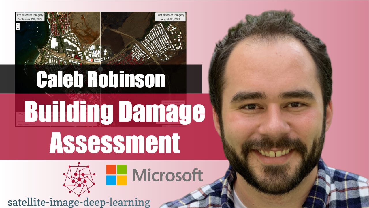
Building Damage Assessment
In this episode, I caught up with Caleb Robinson to learn about the building damage assessment toolkit from the Microsoft AI for Good lab. This toolkit enables first responders to carry out an end-to-end workflow for assessing damage to buildings after natural disasters using post-disaster satellite imagery. It includes tools for annotating imagery, fine-tuning deep learning models, and visualizing model predictions on a map. Caleb shared an example where an organisation was able to train a useful model with just 100 annotations and complete the entire workflow in half a day. I believe this…
The skinny
The skinny isn't ready yet — notes appear once the transcript is processed.