Latest / Satellite image deep learning
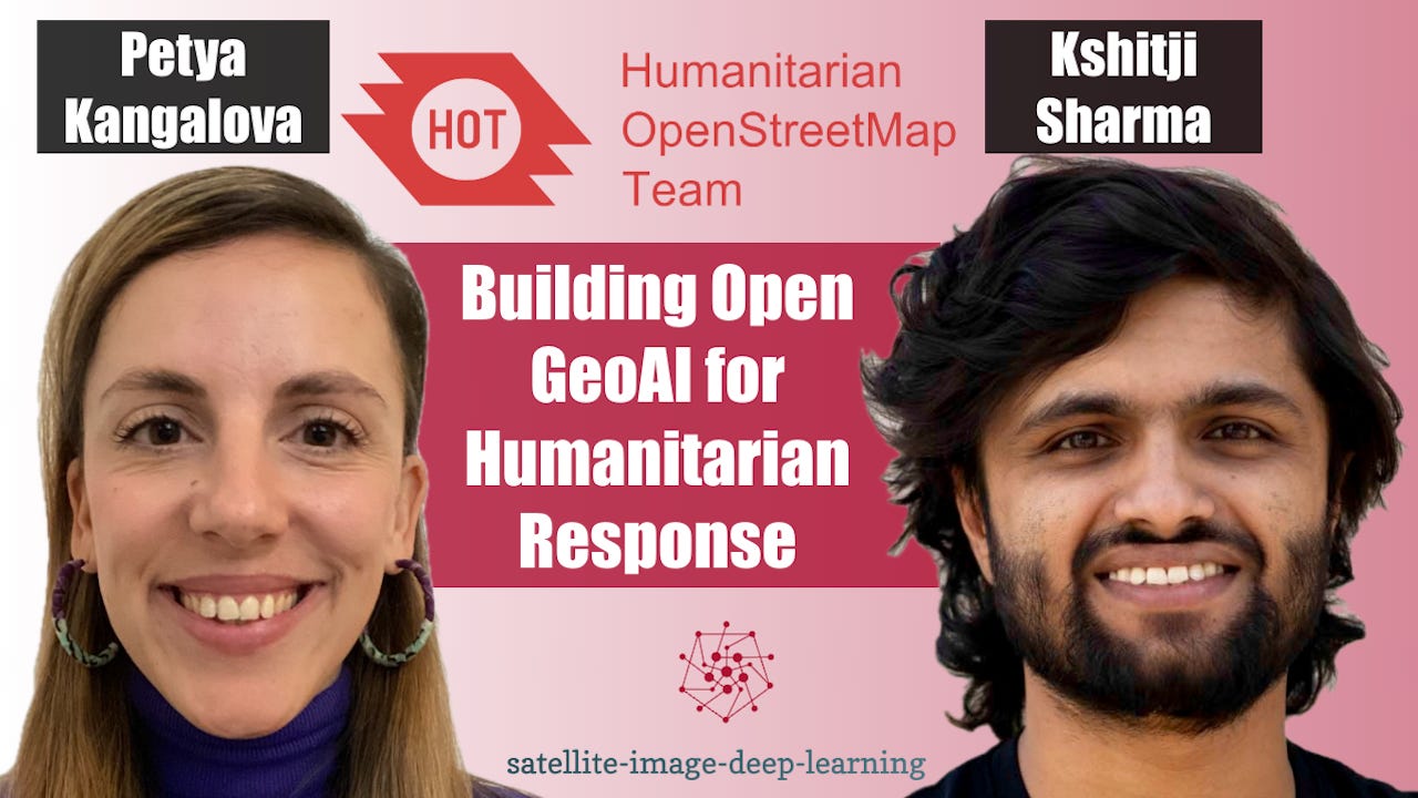
Building Open GeoAI for Humanitarian Response
In this episode I sat down with Petya Kangalova and Kshitij Sharma from the Humanitarian OpenStreetMap Team (HOT) to discuss how GeoAI and community-driven mapping are being combined to support disaster response and humanitarian action. We explore how HOT works with local communities to generate training data, fine-tune AI models for specific geographic regions, and rapidly identify areas requiring attention following disasters. Petya and Kshitij explain why human validation remains essential, particularly in regions where existing training data is limited, and how open-source collaboration…
The skinny
The skinny isn't ready yet — notes appear once the transcript is processed.