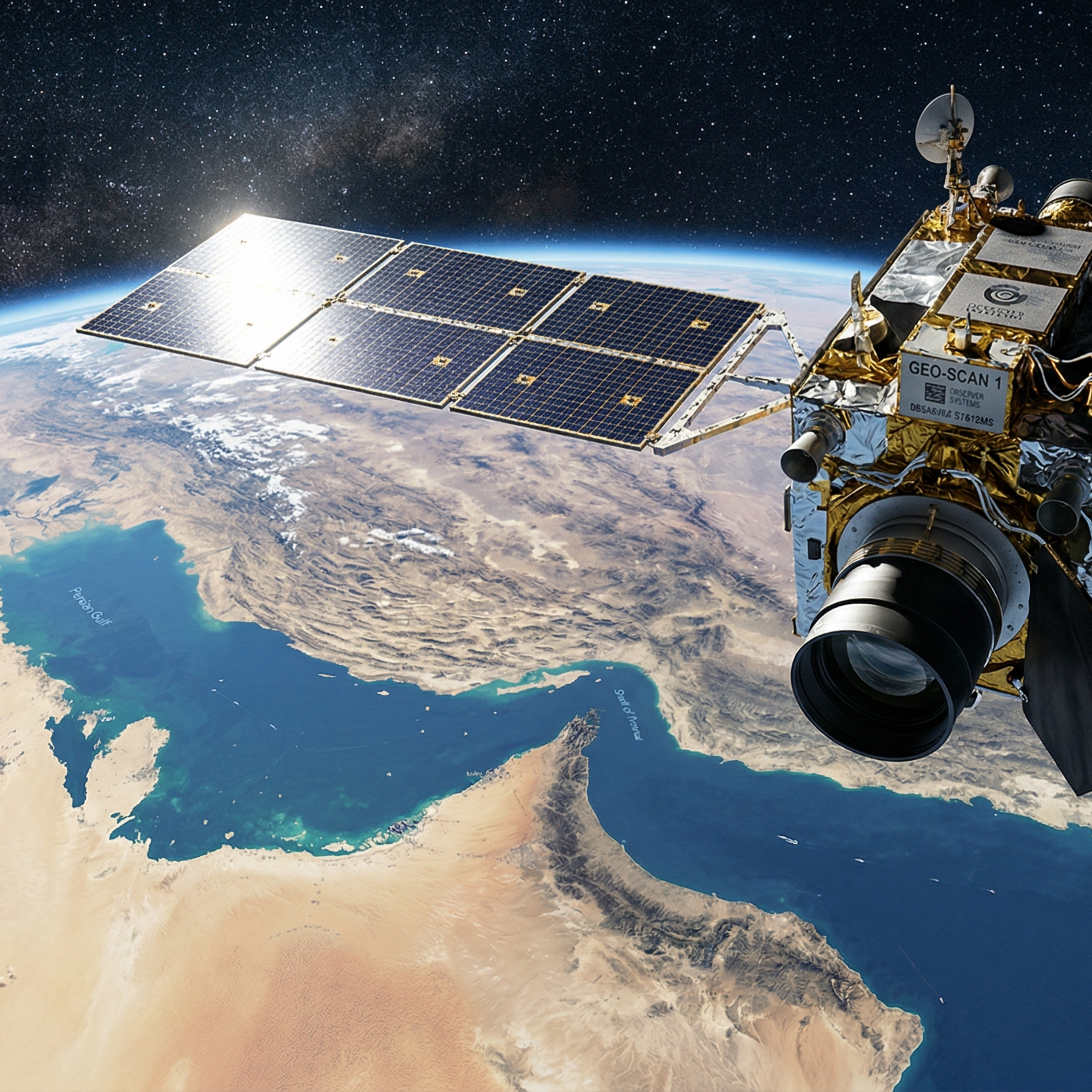
宇宙から戦場を見る時代――商業衛星が中東危機を「可視化」した2026年3月
2026年3月の中東情勢緊迫において、民間の商業衛星画像が政府より早く現地の被害状況を可視化しました。高解像度画像の即時提供やAI解析により、情報の民主化が加速しています。また、ホルムズ海峡の船舶動向や空域閉鎖もリアルタイムで把握可能となりました。商業宇宙インフラは地政学的な情報源にとどまらず、経済活動や物流のビジネス判断にも不可欠な存在として重要性を増しています。
参考記事〇Satellite images, tracking data show disruption in Middle East(2026年3月2日) https://www.rte.ie/news/primetime/2026/0302/1561251-satellite-images-tracking-data-show-disruption-in-middle-east/〇Satellite images show destruction at Iranian drone bases, naval facilities, and radar stations(2026年3月)…
The skinny
The skinny isn't ready yet — notes appear once the transcript is processed.