Latest / Behind The Science Podcast
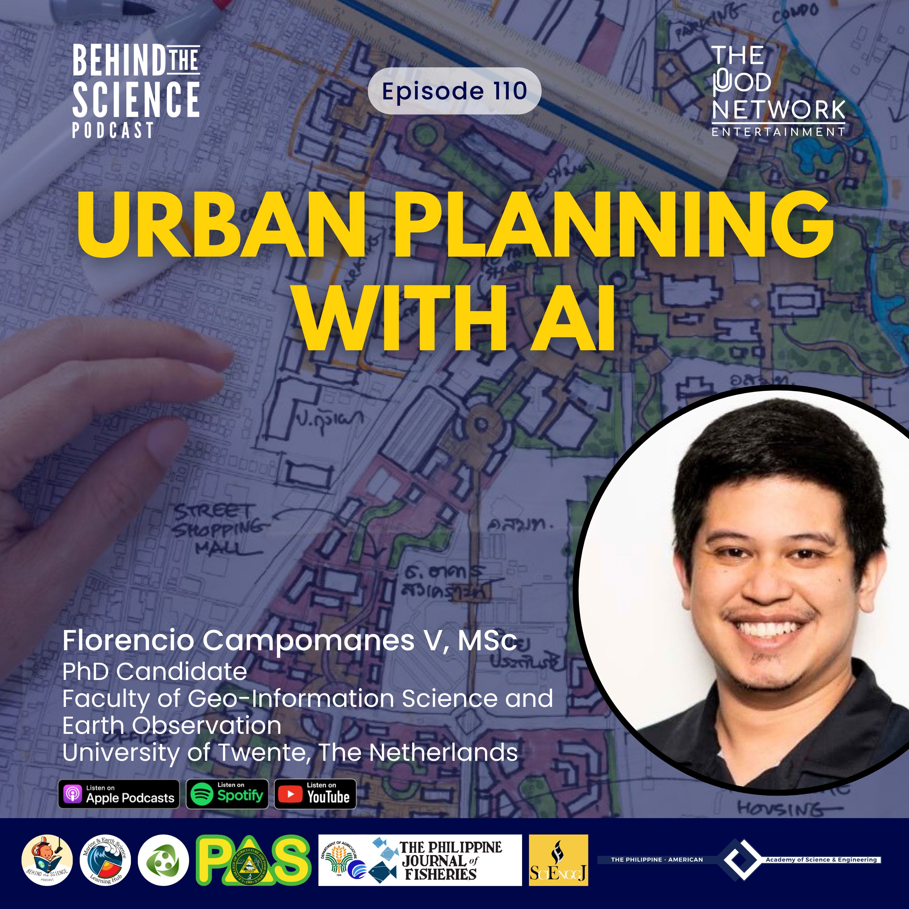
Ep110 - Urban planning with AI
What does a livable city really look like and who gets to decide? In this episode, Enzo Campomanes explains how he developed AI models called "AI-voters" trained on satellite imagery and community input to map urban livability.
📚Reference: Campomanes V, F., Abascal, A., Oliveira, L.T. et al. Whose city is it? Mapping perceived urban livability with citizen-guided AI. npj Urban Sustain 6, 16 (2026).
🤝Behind The Science Podcast is presented to you by Marine & Earth Science Learning Hub, UP Resilience Institute, The Philippine Agricultural Scientist, The Philippine Journal of Fisheries, and…
The skinny
The skinny isn't ready yet — notes appear once the transcript is processed.