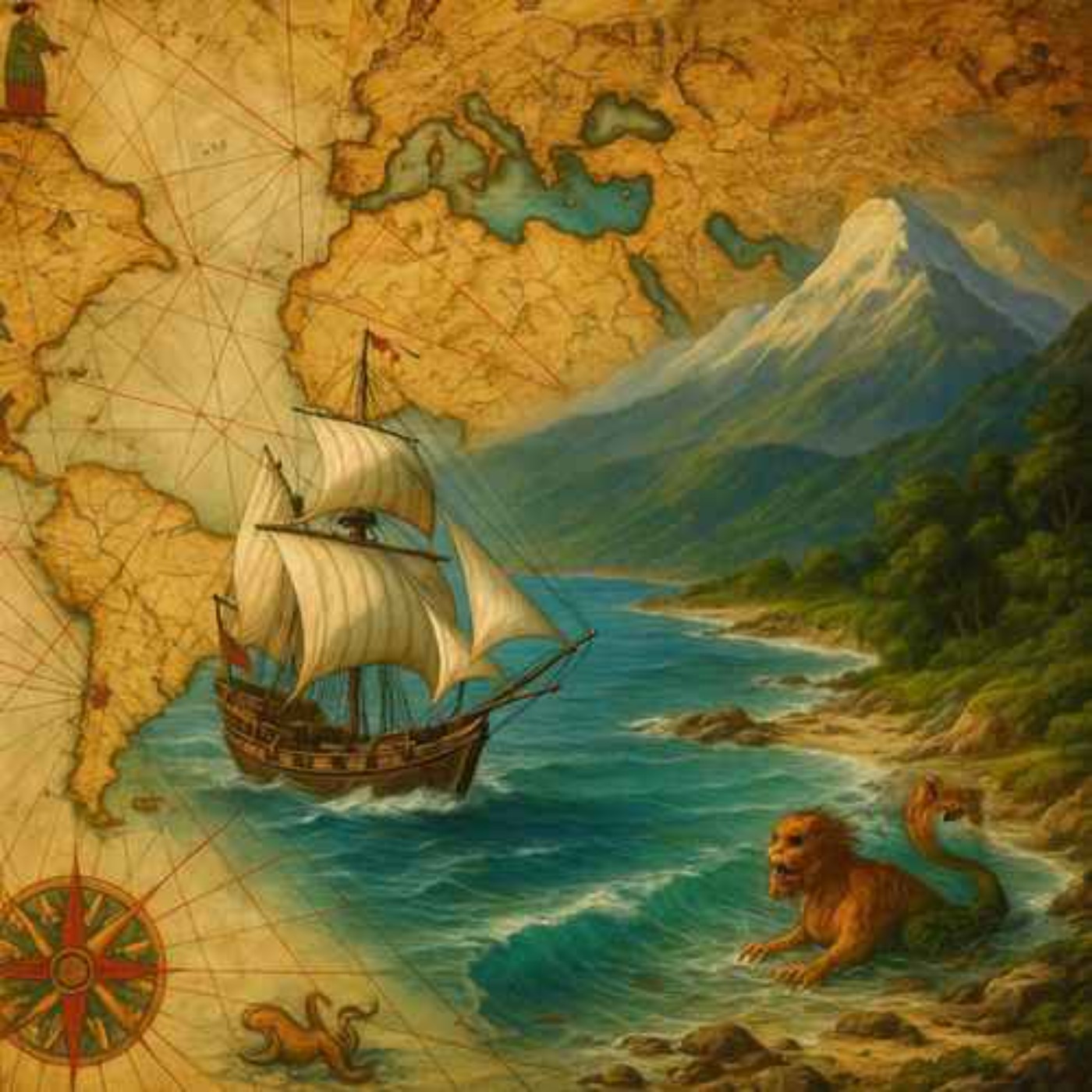
The Piri Reis Map: Do Ancient Maps Show an Ice-Free Antarctica?
This episode has been translated into English using artificial intelligence (AI). The original script and content come from the Swedish podcast Historiens Mysterier (Mysteries of History).The Piri Reis map was drawn in 1513 by the Ottoman admiral and cartographer Piri Reis and depicts parts of Europe, Africa, and the coastlines of South America. It is known for being unusually detailed for its time and is said to have been based on around twenty older maps, including Portuguese maps and possibly some of Columbus's own. The map was drawn on gazelle skin and was discovered in 1929 at Topkapı…
The skinny
The skinny isn't ready yet — notes appear once the transcript is processed.